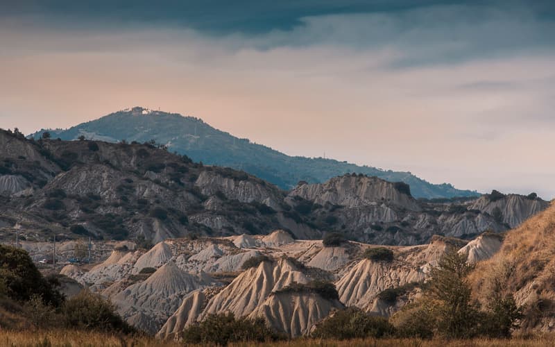
The Parco Nazionale del Pollino, established in 1993, is the largest national park in Italy, spanning the border between Basilicata and Calabria. Its limestone massif rises above 2,200 metres, with Monte Pollino and Serra Dolcedorme among the highest peaks in southern Italy. The park is also a UNESCO Global Geopark.
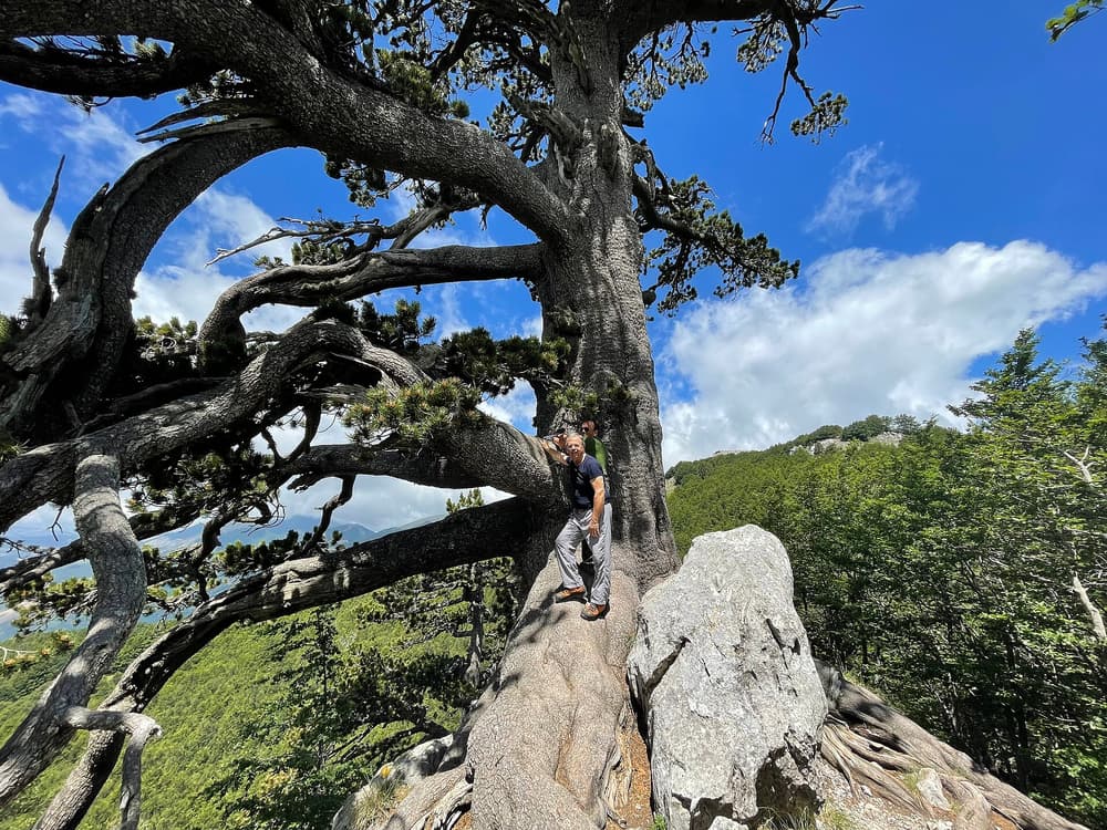
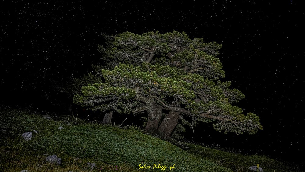
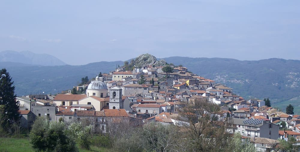
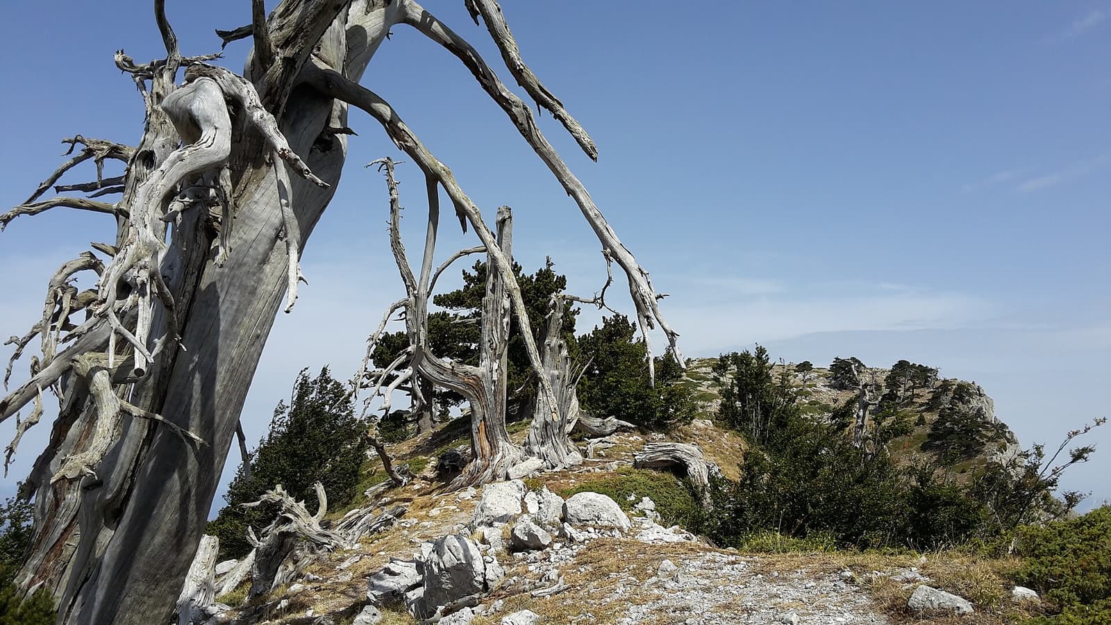
Its symbol is the pino loricato, the Bosnian pine, which survives on the high, windswept ridges, some trees many centuries old. Below are beech and fir forests, gorges and rivers, and villages including Rotonda, Terranova di Pollino, San Severino Lucano and the Arbëreshë (Albanian-speaking) communities of San Paolo Albanese and San Costantino Albanese.
Highlights
- Serra di Crispo: the “Garden of the Gods” of loricato pines.
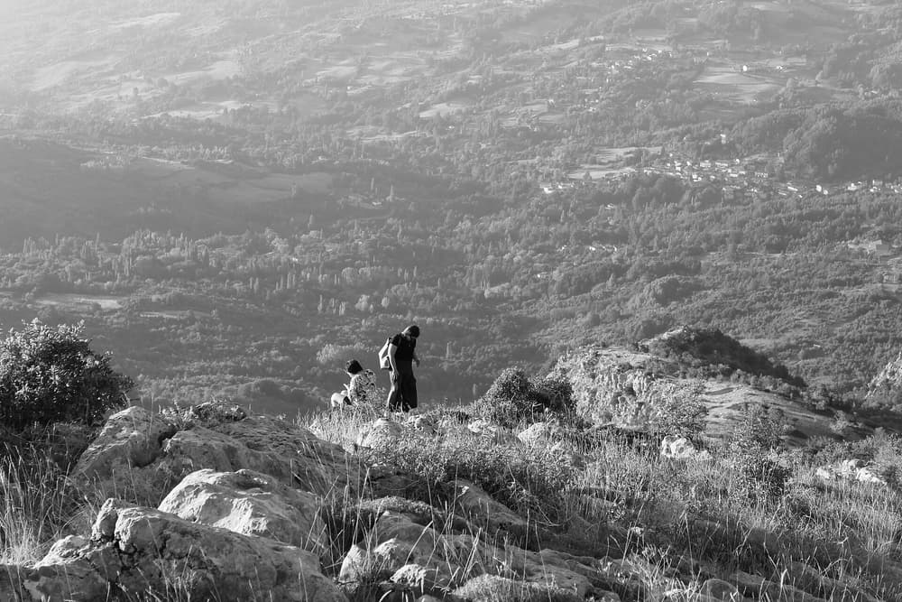
- High-mountain hikes: Monte Pollino and the Piani di Pollino.
- Rafting: in the Lao gorges on the Calabrian side.
- Madonna del Pollino: a mountain sanctuary and pilgrimage.
- Arbëreshë villages: Albanian language and traditions.
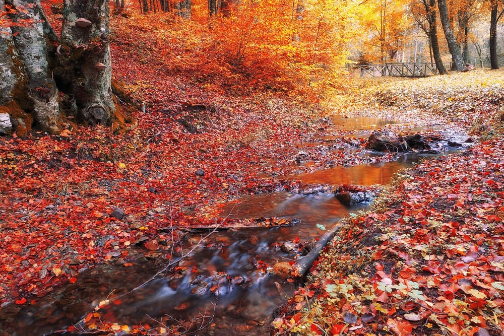
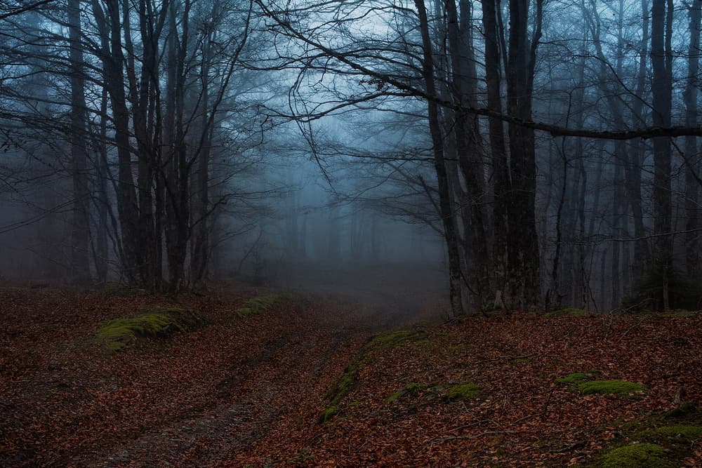
- Forests: beech woods that blaze in autumn.
Quick facts
| Province | Potenza (and Calabria) |
|---|---|
| Established | 1993 |
| From Maratea | About 1 hour by car to Rotonda |
| Ideal stay | Two to four nights |
| Best for | Hiking, rafting, nature, slow travel |
| Getting around | Car; guided hikes for the high routes |
How long to stay & where to base yourself
Allow two to four nights. Rotonda and Viggianello are good bases for the high Pollino, close to the A2 motorway. Terranova di Pollino and San Severino Lucano are deeper in the park, on the eastern side.